BRIEF DESCRIPTION
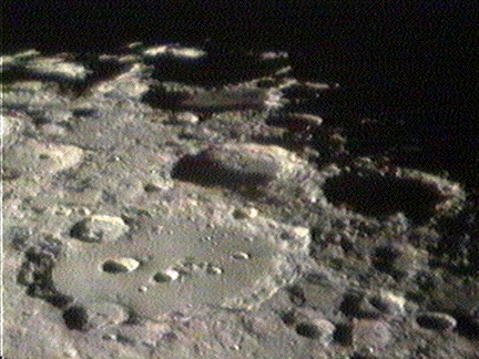
The limb area of the Moon adjacent to the south pole is densely covered
by craters and large walled plains. The terrain is mountainous and the foreshortening
close to the Moon's limb and deep shadows make observation and mapping of
this area very difficult. The same applies to the limb regions on Sections
73 and 74. Refer to your Atonin Rukl lunar chart, page 171.
Full Moon
Anaglyph
EARTH BASED TELESCOPIC IMAGES:
Consolidated Lunar Atlas: http://cass.jsc.nasa.gov/research/cla/menu.html
Image
- Clavius (Sussenbach)
Image - Clavius
(Ferreira)
Image - Clavius
(Legault)
Image
- Clavius, Tycho and the south pole (Legault)
Image - Clavius
(Cazard)
Image
- Clavius (Therin)
Image
- Clavius (Therin)
Image - Clavius
(Genovese)
Image - Clavius
& Maginus (Ferreira)
Image - Clavius
and Rutherford (Quarn)
Image
- Clavius #1 (Poyet)
Image
- Clavius #2 (Poyet)
Image
- Clavius (Zerbe)
Image - Longomontanus
region (Dittmer)
LUNAR ORBITER IMAGES:
Digital Orbiter Photographic Atlas of the Moon: http://cass.jsc.nasa.gov/research/lunar_orbiter/
Blancanus, 105 km
Casatus, 111 km
Clavius, 225 km
Drygalski, 163 km
Klaproth, 119 km
le Gentil, 113 km
Longomontanus, 145 km
Porter, 52 km
Rutherford, 48x54 km
Scheiner, 110 km
Wilson, 70 km
APOLLO IMAGES:
Apollo Image Atlas: http://cass.jsc.nasa.gov/research/apollo/index.html
RESEARCH UPDATES:
Clavius (Lunascan)
Longomontanus
(Lunascan)